Discover Kiso Valley
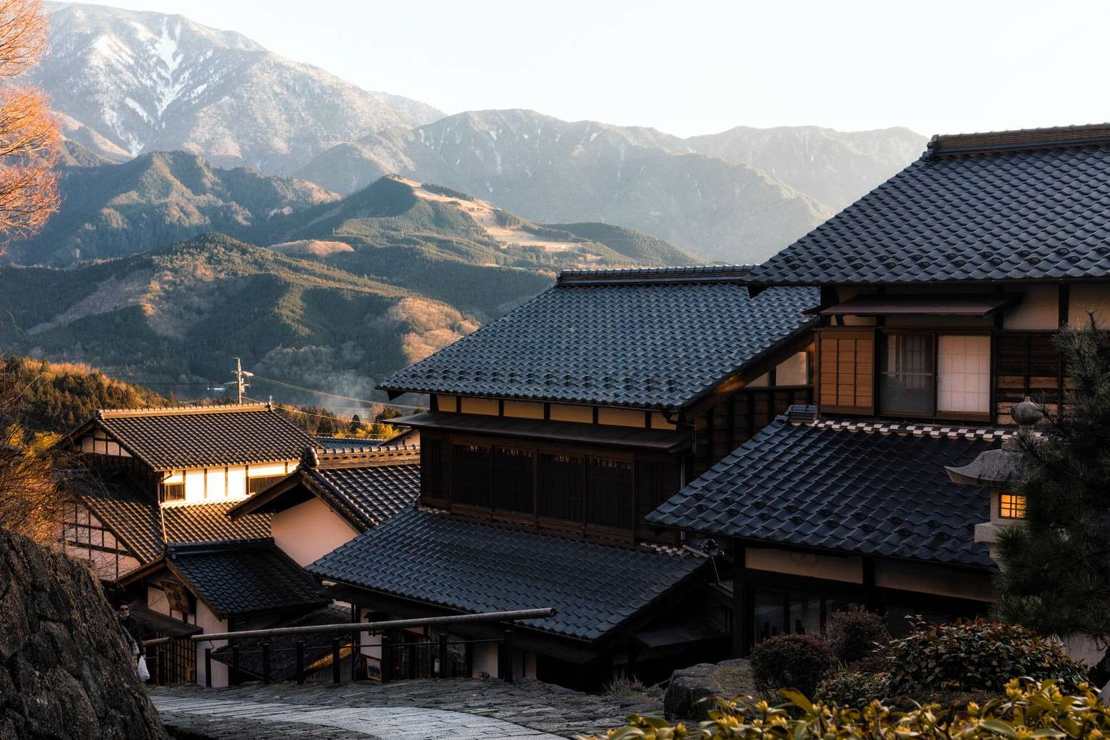
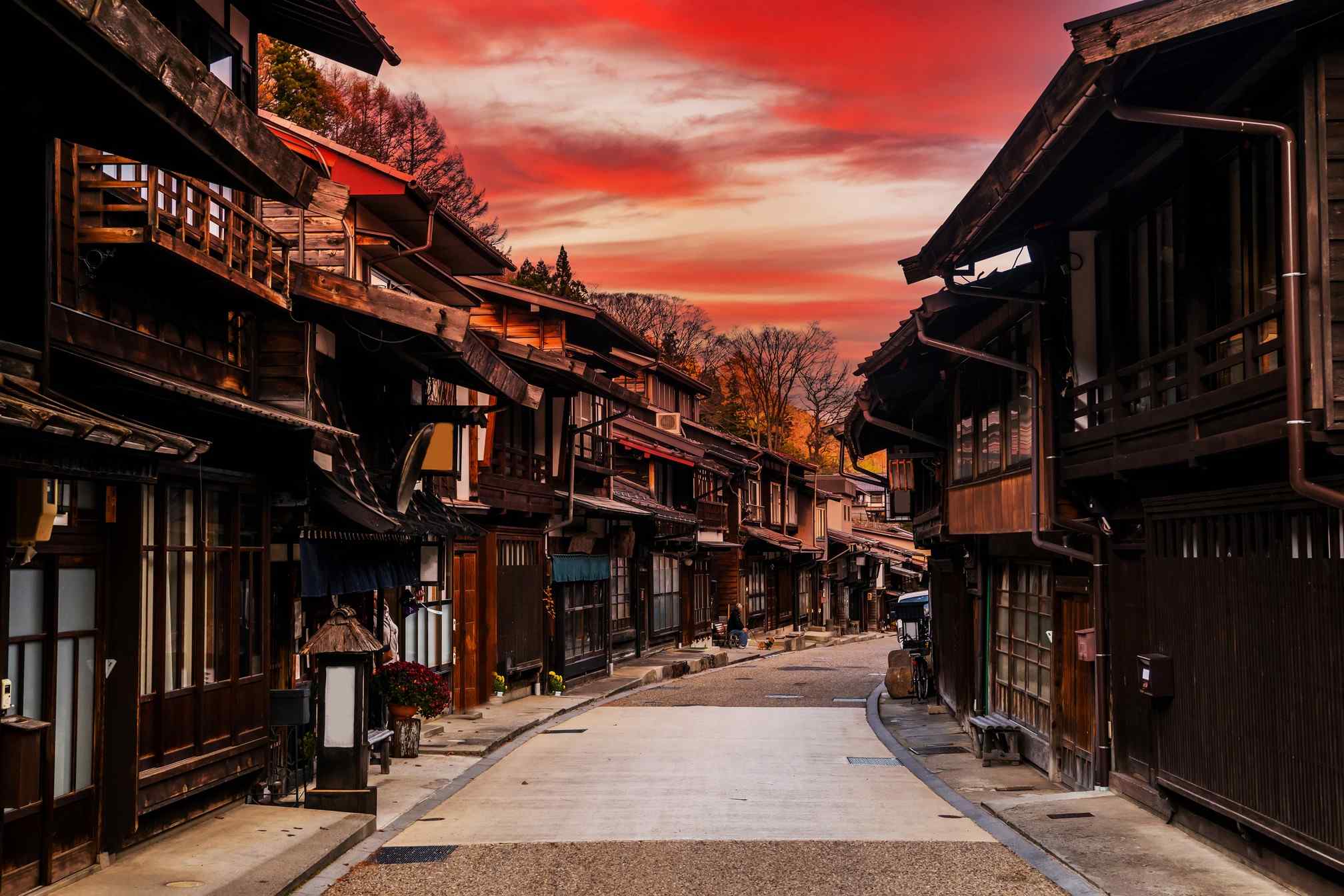
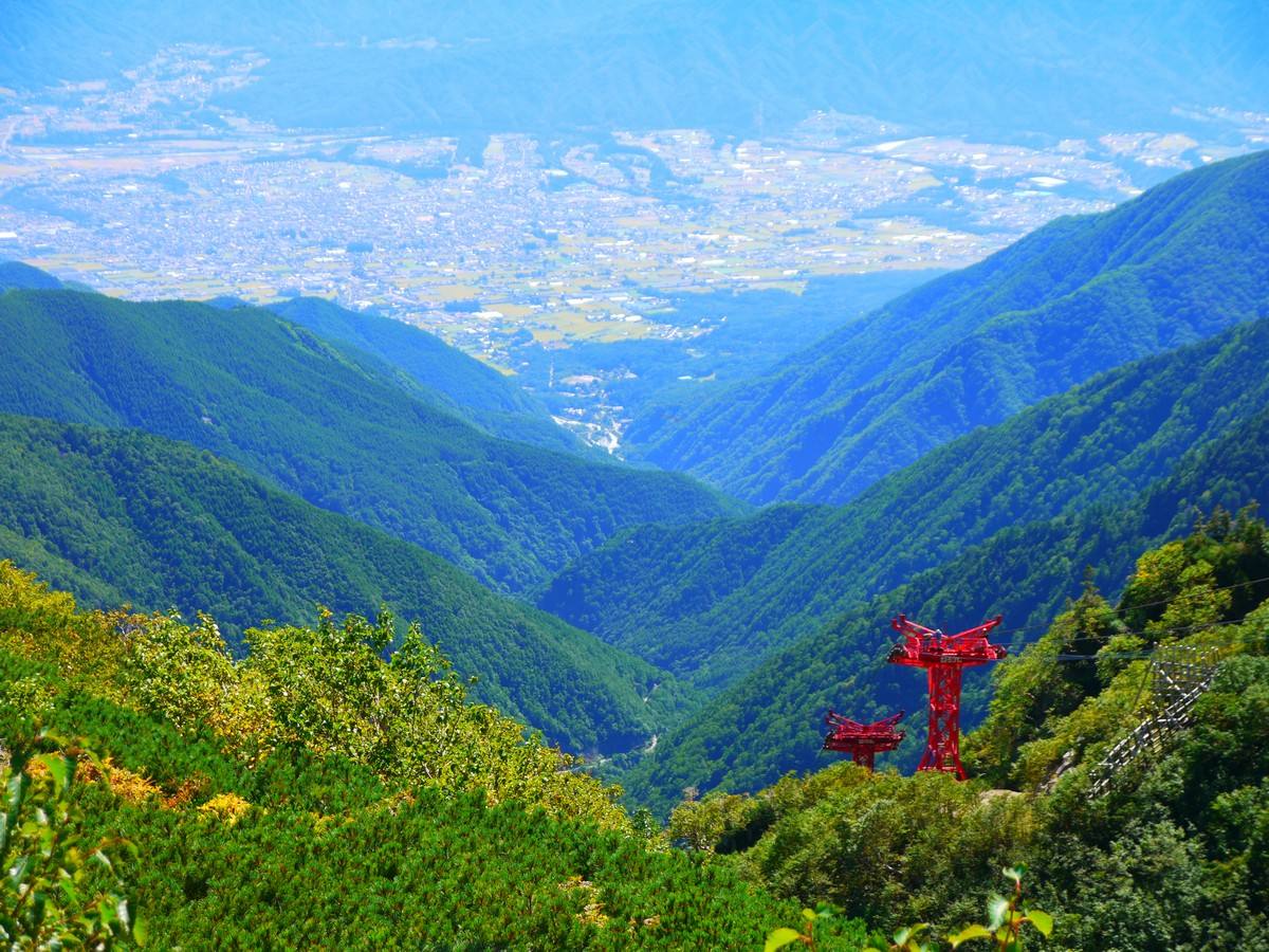
During winter, the Kiso Valley transforms into a skiing paradise with several resorts catering to all skill levels. Ascend to the summit of Mount Otake for breathtaking views, or explore the picturesque valley on horseback. With its captivating landscapes and a variety of outdoor activities, Kiso Valley is an unforgettable destination in Japan.
Things to see and do
Tours and Activities
FAQs
Getting around Kiso Valley
The easiest way to get around in Kiso Valley is by car, since many of the major sights and attractions are not accessible by public transportation. Though, since the area is part of the historical Nakasendo Trail, many visitors chose to hike through large parts of the area. If you decide to rent a car, it is advised to do so from the nearest airport in the vicinity. You can use our car rental widget in the FAQ menu below.
Getting to the Kiso Valley
Public transportation:
To get from Nagoya to Kiso Valley by public transportation, travelers need to take a train and a bus. Detailed instructions are as follows:
-
Take the JR Chuo Main Line from Nagoya Station to Nakatsugawa Station. The journey takes approximately 1 hour and 10 minutes.
-
From Nakatsugawa Station, take a bus to Magome or Tsumago in the Kiso Valley. The bus journey takes about 30 minutes.
Nearest airport:
The nearest and most convenient airport is Shinshu-Matsumoto Airport.
-
by car: approximately 1 hour
-
by public transport: approximately 1 hour and 30 minutes
Car rentals:
How long to stay in the Kiso Valley
We recommend staying here between between two and three days.
Hotels in the Kiso Valley
Seasonal information
Hiking:
The hiking season in this area typically runs from Summer until Autumn
Scenic rides:
-
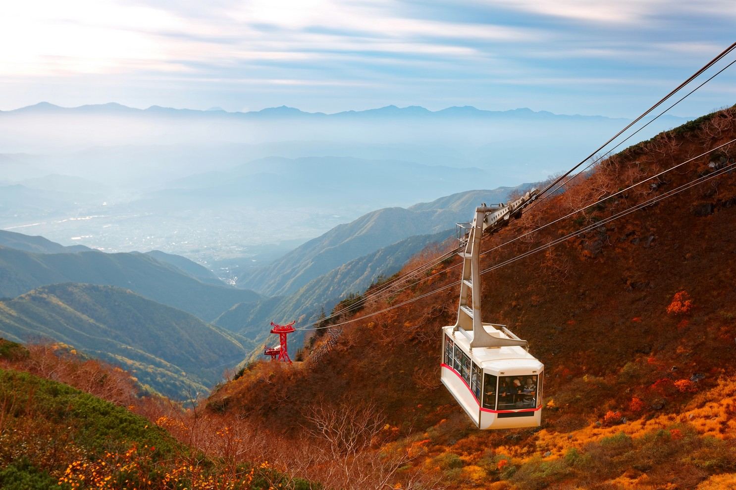
Komagatake Ropeway: click here for the official timetable
-
Mitake Ropeway: click here for the official timetable
Winter sports:
Ski resorts in Japan typically run from January until April. Though this can differ from year to year, depending on the amount of snow.
Festivals in the Kiso Valley
There are several festivals here throughout the year. Please be advised that the following list is based upon previous entries of those festivals and that the dates might have changed slightly in the following year. It is also possible that the entire festival is cancelled in the case of heavy rainfall or a natural disaster. Please check with the official organisers' website for the most up-to-date information.
For the exact location of any of the festivals listed here, you can consult our map above by clicking on the icon in the upper most corner of the map to open the map legend. Festivals are hidden by default but can be made visible by clicking on the "Festivals" checkbox in the map legend.
-
Mizunashi Annual Shrine Festival
-
Date: July 22nd until July 23rd
-
Time: 12:00 - 23:00 (fireworks between 19:15 - 21:00)
-
-
Kisogawa Genryu Summer Festival
-
Date: August 3rd
-
Time: 16:00 - 20:30
-
-
Tenryu Kappa Festival
-
Date: August 24th
-
Time: 11:00 - 21:00 (fireworks from 19:00 - 21:00)
-
Flights to Kiso Valley
The nearest and most convenient airport is Shinshu-Matsumoto Airport.
-
by car: approximately 1 hour
-
by public transport: approximately 1 hour and 30 minutes
Getting mobile data in Japan
We recommend the following options for staying connected in Japan:
Day trips from Kiso Valley
Okuhida, a mountainous area in central Japan, boasts over six different mountains to hike and explore. In winter, visitors can hit the slopes at the Honoki Daira ski resort, while ...
Travel time:
Distance, km: 33.73
Read MoreGero Onsen, a world-renowned spa resort, attracts over a million visitors each year with its fantastic natural hot springs. After soaking in the soothing waters, explore the nearby Gassho Village, ...
Travel time:
Distance, km: 40.47
Read MoreExplore the historic city of Matsumoto, surrounded by dramatic mountain scenery. Visit the impressive Matsumoto Castle, one of Japan's most iconic castles, and stroll through the charming, historical shopping streets. ...
Travel time:
Distance, km: 42.85
Read MoreTakayama, an ancient city nestled high in the mountains, offers a unique and immersive experience for visitors to Japan. Home to the enchanting Utsue 48 Waterfalls, the city is also ...
Travel time:
Distance, km: 43.01
Read MoreGujo Hachiman, a quaint town nestled in a mountain valley where three rivers converge, offers visitors a chance to explore historic buildings and narrow lanes. Wander through traditional temples, or ...
Travel time:
Distance, km: 67.16
Read More


